What do the results mean?
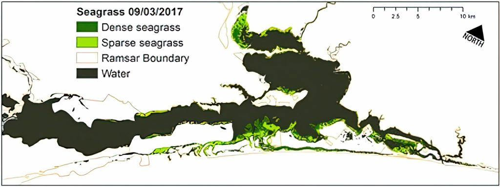
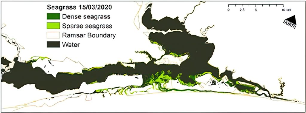
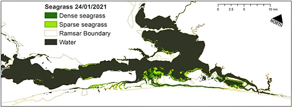
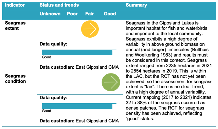
Seagrass in the Gippsland Lakes and elsewhere exhibits a high degree of variability in above ground biomass on annual (and longer) timescales and results must be considered in this context. Seagrass extent in the Gippsland Lakes was mapped over four recent years (2017, 2019, 2020 and 2021) and total extent ranged from 2235 hectares in 2021 to 2854 hectares in 2019. This is within the Limits of Acceptable Change, but the aspiration goal of 4000 to 5000 hectares has not yet been achieved, so the assessment for seagrass extent is “fair”. There is no clear trend with a high degree of annual variability. Current mapping (2017 to 2021) indicates 32 to 38% of the seagrass occurred as dense patches, reflecting “good” condition.
Technical Reports
Case Study
Seagrass: variability over time
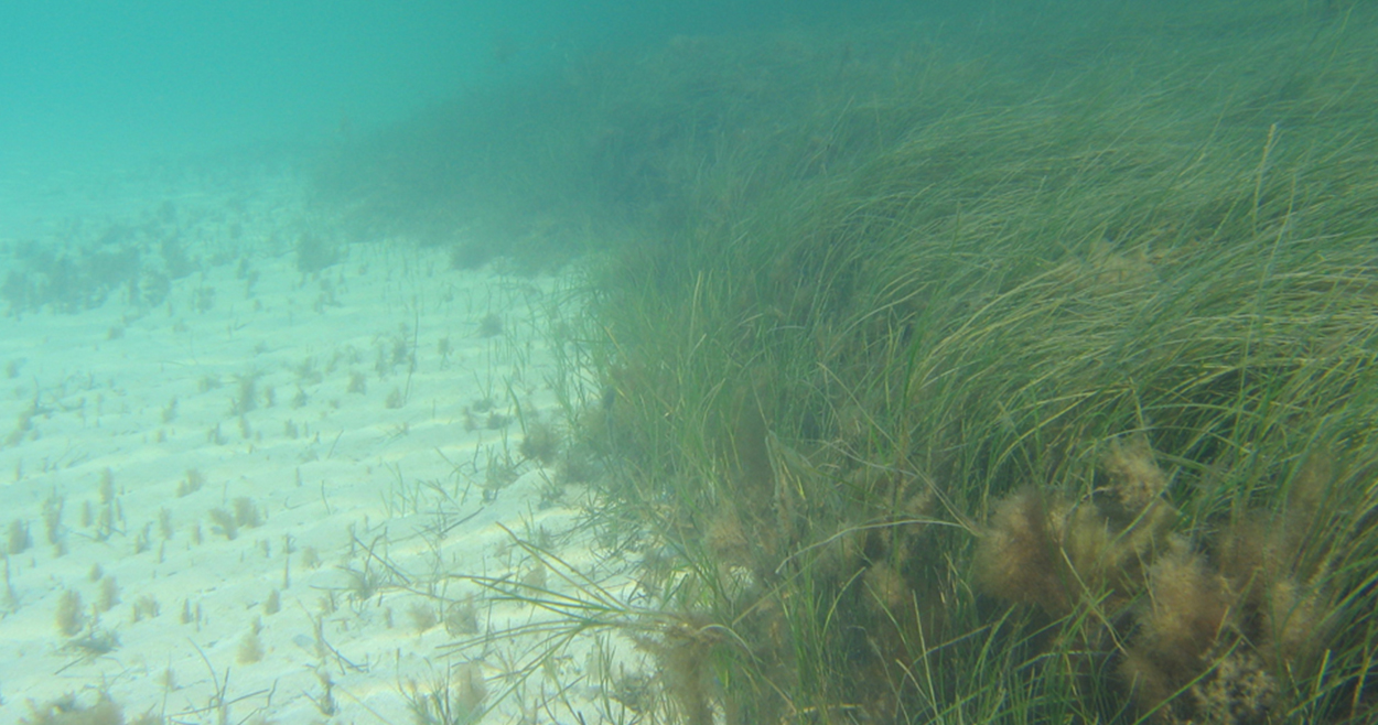
Seagrass can vary considerably over relatively short periods of time in response to nutrients (both too much and not enough) salinity and available light. Seagrass extent between 2017 and 2021 (see maps below) varied by as much as 25% between years. Not only did the total extent vary, but the distribution changed as well, with more seagrass in Jones Bay in 2017 and more in Lake Victoria in 2020. This pattern of shifting seagrass is not new. Between 1959 and 1997 seagrass extent changed dramatically leading scientists to conclude that seagrasses in Gippsland Lakes are in a state of “continual fluctuation” (Roob and Ball (1997). Available data suggest no long-term trend, but that salinity may play a role, with a decline in seagrass in lower salinity conditions.
